
Hutchinson ZIP Directory Coverage
Official USPS materials identify four Hutchinson destination ZIP codes. The available sources do not publish a reliable neighborhood-by-ZIP boundary map, population table, split year, or complete overlay with city limits. The table therefore states only what official records support and marks where an exact address must be checked.
| ZIP | Areas Covered | Post Office | Notes |
|---|---|---|---|
| 67501 | Main Hutchinson destination | 128 E 1st Ave | Retail address uses 67501-9998 |
| 67502 | Additional Hutchinson destination | Verify by address | No official neighborhood split found |
| 67504 | Additional Hutchinson destination | Verify by address or PO box | Official parcel sample uses it for mailing |
| 67505 | Hutchinson destination with South Hutchinson example | Verify by address | Planning office at 600 Scott Blvd uses it |
A destination city is a postal label, not a mapped municipal boundary. The ZIP code directory should narrow the search, then hand the exact location question to USPS, Planning, the parcel roll, or GIS.
Verify Hutchinson ZIP Addresses
The USPS ZIP Lookup provides separate address and PO-box modes. Enter the complete delivery address, including direction and unit when known. Dynamic results were not captured in the research without submitting a specific address, so no neighborhood assignment should be inferred from the blank tool.
- Enter the full street address in the USPS address mode.
- Use PO-box mode only when a box number is the known delivery point.
- Save the standardized city, state, ZIP code, and ZIP+4 as postal fields.
- Compare them with the parcel's situs and legal description before drawing a city-limit conclusion.
The Hutchinson post office page confirms the retail location at 128 E 1st Ave.
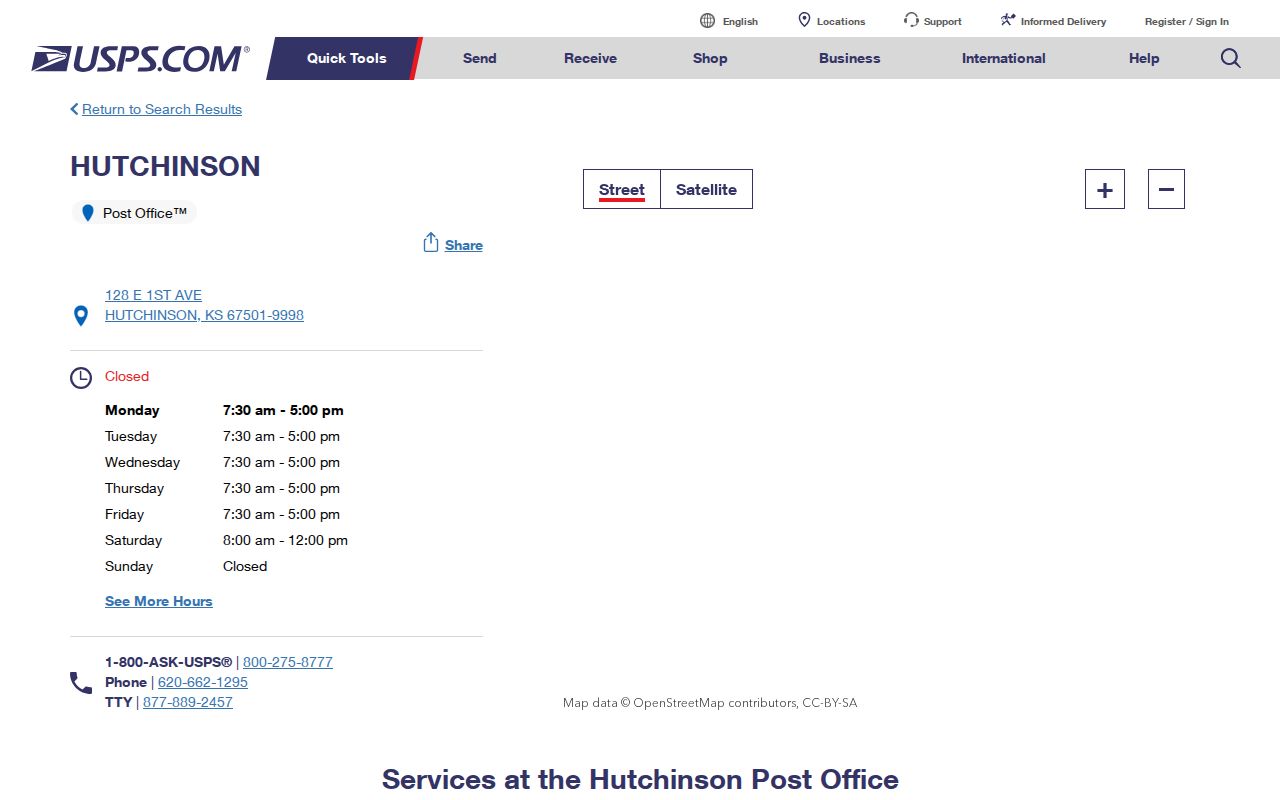
The office screenshot confirms a real postal location, but it does not draw the delivery boundary for any Hutchinson ZIP code.
Search Hutchinson Parcels by ZIP
The Reno County Tax Information Module includes ZIP Code within its property-address fields. Other fields include street number, street name, direction, subdivision, block, lot, owner or taxpayer name, parcel number, and tax type. Use the ZIP filter to narrow property records, not to make a roster of occupants.
| Search Field | Use | Limit |
|---|---|---|
| ZIP Code | Narrows the postal field | Not a city boundary |
| Street number/name/direction | Locates a situs candidate | Direction is significant |
| Subdivision, block, lot | Links to legal geography | Not a mailing line |
| Owner or taxpayer | Finds a filed property connection | Does not list all residents |
| Parcel or CAMA number | Finds the tax identity | Not a postal identifier |
Once the ZIP filter yields an address, use the Hutchinson street directory for street-level records. VoterView cannot browse by ZIP, because its individual lookup requires first name, last name, and birth date.
Separate Hutchinson Address Fields
A parcel card can contain several valid but different locations. The situs address is the physical parcel. The mailing address is where tax notices go. The postal city and ZIP describe USPS delivery. The legal description and parcel number identify the land. A deed, voter record, permit, and old directory can each key to another part of that set.
- ZIP code
- A USPS delivery area code, not a city-limit line.
- ZIP+4
- An added four digits that narrow delivery to a segment or point.
- PO-box ZIP
- A ZIP used for post-office boxes in a delivery system.
- Unique ZIP
- A code assigned to one high-volume organization; none was verified for Hutchinson.
- Carrier route
- A postal delivery path that can cross familiar neighborhood labels.
The official parcel example places 500 W 20th Ave in the property field while using PO Box 1987 and ZIP 67504 for owner mail. That is a useful warning, not evidence that 67504 is a residential neighborhood boundary.
Map Hutchinson ZIP Edge Cases
The Reno County parcel and map page links Beacon for parcel context. County Planning instructions say to accept the disclaimer, open Layers, and enable Parcels, 2016 Zoning, and Aerial Photography. Those layers answer land and zoning questions. They do not create a USPS boundary map.
The city's GIS mapping page supplies another official geographic entry point.
The mapping page provides city context after USPS verifies delivery, while the parcel card supplies the physical and legal land fields.
Note: County zoning colors are general planning depictions; confirm detailed boundary questions with Planning staff.
Hutchinson ZIPs and City Limits
Reno County Planning assigns a new site address after required approval, but USPS assigns ZIP codes. Planning also warns that address boundaries can shift. Thus a Hutchinson postal city can occur in county geography, and a ZIP code alone cannot prove municipal jurisdiction.
Hutchinson Ordinance 2018-30 gives a concrete example. It annexed portions of multi-jurisdictional rights-of-way involving Hendricks, 43rd Avenue, 30th Avenue, Halstead Street, Avenue G, and Lorraine Street. Its descriptions use subdivisions and section-township-range, not postal ZIP outlines.
Boundary check. Use USPS for delivery, GIS for mapped context, and the ordinance or legal description when the Hutchinson city line is disputed.
Hutchinson ZIP Resident Workflow
Postal geography is a starting filter, not a resident list. Move from the broad ZIP code to the record that answers the real question.
- Verify the exact address and ZIP+4 through USPS.
- Search the Reno tax roll by ZIP and address, retaining both situs and mailing fields.
- Open GIS to check the parcel, city context, zoning, and nearby boundary.
- Use owner, case, deed, or registration records only for their stated purpose.
- Record gaps instead of assigning unverified people to an address.
This workflow is slower than treating every ZIP result as a household, but it is far more accurate. Non-owner occupants will not appear on a parcel card, and protected residents may be absent by design.
Read Historic Hutchinson Addresses
Historical Hutchinson directories and the HPL 1909 map use forms such as av E, N Plum, and numbered avenues. Search Hutchinson and South Hutchinson, preserve the direction, and test Avenue as well as Ave. A modern ZIP code may not help with a record printed before the present postal system.
The HPL map, city directories, telephone books, and Sanborn maps can bridge an old street line to subdivision, block, lot, railroad, creek, or building footprint. Then the deed legal description and current parcel card can connect that historic place to modern land. No official citywide street-renumbering year was found, so compare sources rather than asserting one.
Hutchinson Postal Geography Gaps
No inspected official source supplied a complete Hutchinson ZIP boundary overlay, ZIP-by-neighborhood population, or split and realignment year. The four destination codes are supported, but assigning whole neighborhoods to 67502, 67504, or 67505 would go beyond the evidence. The South Hutchinson Planning address is one example, not a statement about every 67505 delivery.
Reno County had 61,898 residents in the 2020 Census and a July 1, 2025 estimate of 61,539. Those county totals cannot be divided among Hutchinson ZIP codes without a matching official geographic dataset. Preserve the gap and verify individual addresses.
Use Hutchinson ZIP Data Lawfully
A ZIP code directory should not imply that postal data reveals every household. Property owners, taxpayers, registered voters, postal recipients, and people who live at a site are overlapping but distinct groups. Kansas VoterView is an individual confirmation tool, not a ZIP browser, and a full voter file is a separate restricted request.
Use records for lawful personal research and verify claims with the custodian. Never use a ZIP search to stalk, harass, intimidate, or work around an address-confidentiality program. A no-match may reflect database scope, protection, spelling, timing, or a valid difference between situs and mailing fields.